ESTABLISHED 1978
At PM Kennedy, we see land as possibility. Each contour, boundary and elevation reveals the potential for something remarkable.
Since 1978, we've partnered with architects, builders, project managers, developers, and government, to shape Victoria's most trusted projects, providing the precision and certainty every vision depends on.
To us, land surveying is more than measurement, it's where spaces are reimagined and new stories begin.
Re-establishing, marking and certifying property boundaries.
Detailed mapping of terrain, structures and elevations for design and planning.
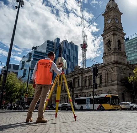
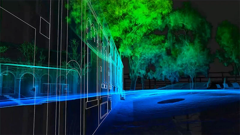
High precision site capture with drones & laser scanning to model real world detail.
Surveying and planning to divide land into new lots, roads and easements. Coordinated through to full Council approval.
End-to-end surveying and project management solutions for greenfield, broadacre andinfill land developments across Victoria.
Coordinating planning approvals, zoning, lot layouts and council requirements.
Correcting, updating or adjusting titles to reflect accurate legal boundaries.
Defining, creating and removing rights of way, access, use limits and legal constraints.
Merging two or more lots into one parcel of land under a single title.
OUR STORY
Paul M Kennedy built his reputation as a respected land surveyor through precision, integrity, and genuine care.
Since 2008, his daughter Kathryn has carried that legacy forward, leading PM Kennedy, a boutique land surveying consultancy where expertise and innovation come together to shape the spaces of tomorrow.

WHY CHOOSE US
We're a boutique consultancy by choice, giving clients direct access to senior experts, tailored solutions and the agility to adapt to evolving project needs.
Since 1978, we've built our reputation on one principle: your success defines ours. Partnership, precision and care are the hallmarks of every project.
We manage every stage from feasibility through to completion, delivering accuracy, consistency and certainty through integrated surveying and planning expertise.
Our licensed surveyors identify risks early and document every detail with precision, preventing costly disputes and ensuring certainty, compliance and faster approvals.
We invest in advanced surveying technology and digital systems to deliver richer data, faster results and greater certainty from day one.
We raise the benchmark for accuracy and ethics in land surveying, leading by example to shape better standards and outcomes across the industry.
TECHNOLOGY & INNOVATION
We leverage cutting edge technology including drone surveys, 3D laser scanning, and advanced modelling software to deliver unprecedented accuracy and insight for your projects.
High density point clouds for precise as-built documentation.
High resolution imagery and terrain mapping from above.
Interactive 3D models for design coordination and clash detection.
INSIGHTS
Blog

The negative gearing debate is over. The reforms announced in the 12 May 2026 Federal Budget passed the Senate on 25 June 2026 and received royal assent the following day. They take effect from 1 July 2027.
Blog
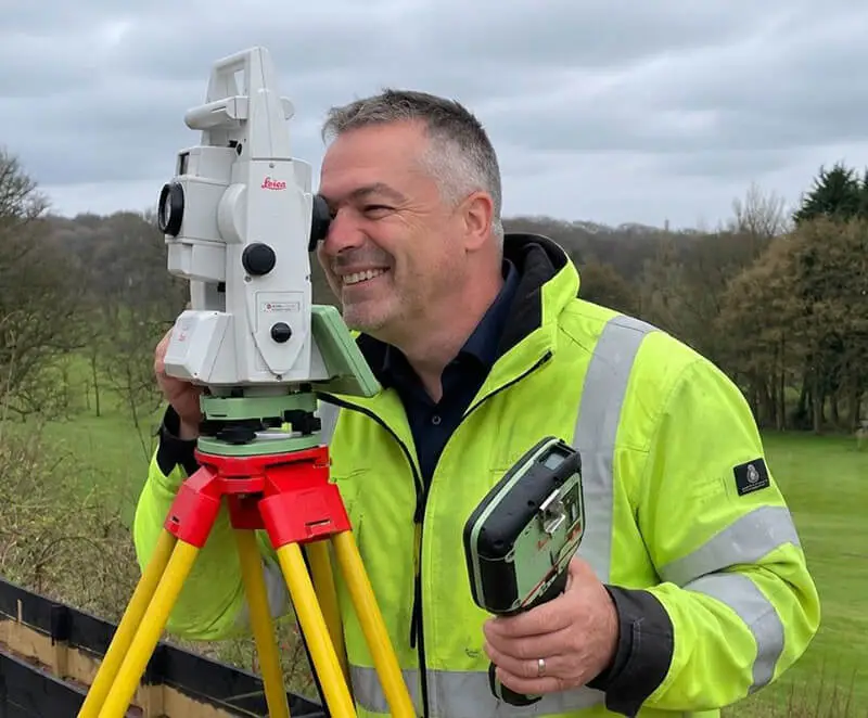
Understanding the critical differences between these two essential survey types can save you time, money, and legal headaches on your next project.
Industry Insight
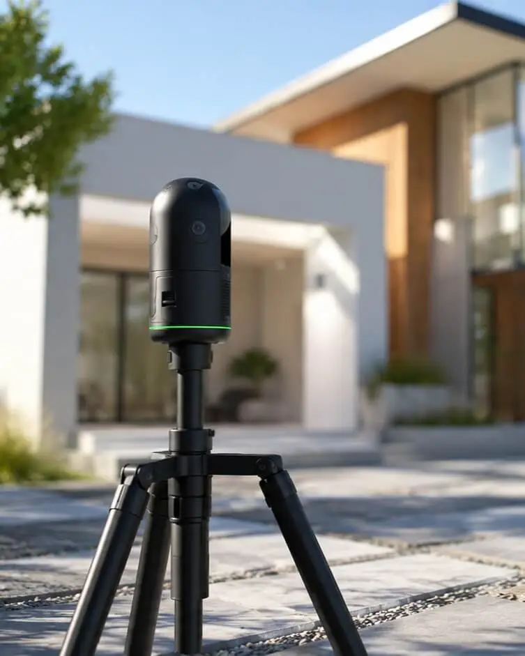
From heritage renovations to high-rise developments, 3D laser scanning is revolutionizing how Melbourne's construction industry captures and uses site data.
GOT QUESTIONS?
TESTIMONIALS